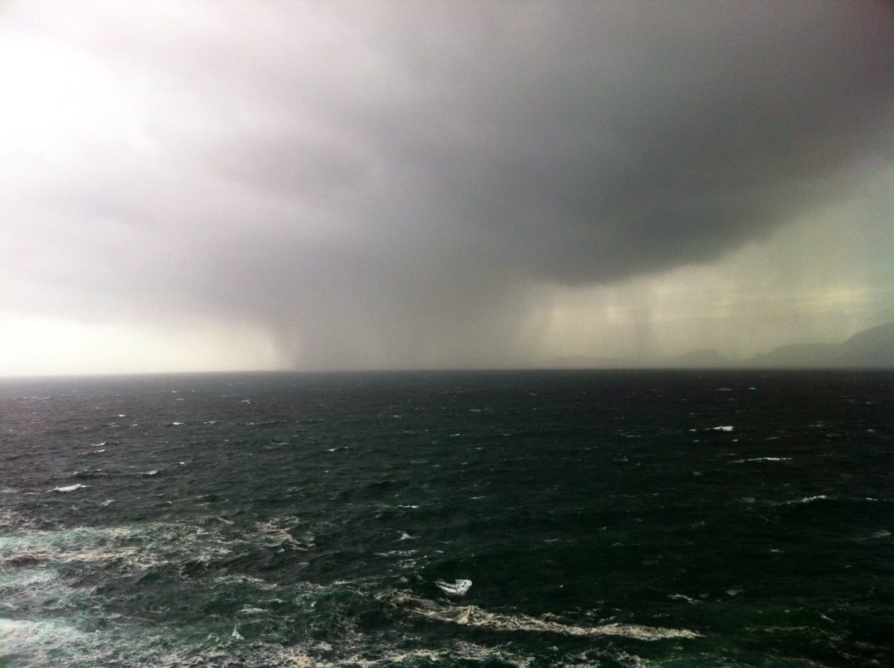
HAVOC was caused last night after the promised storm and extreme weather front failed to deliver the deluge and high winds as promised, but it did make a lot of rain today.
However, in an effort to right the wrongs of inaccurate forecasting, another severe weather warming has been posted for tonight where it is predicted that what was promised last night, will in fact turn up tonight and through to Christmas Eve.
The entire west coast counties, including Limerick, has been ordered to re batten down the hatches and tie up the ponies as the storm front from Canada is due to land over the next few hours.
Winds of up to 120km/h are due to rip up the coast while another downpour is expected.
Motorists are advised to avoid unnecessary journeys and anyone with planned travel itineraries should check with operators as ferries have been cancelled or delayed.
Met Eireann issued a yellow wind alert and while not thought to be as strong as first predicted it is set to be increased.
Temperatures will drop and while snow is not expected, some sleet and sideways rain will hit the country.
Black ice and localised flooding will be present in parts.
As the unpredictable weather has varied from hour to hour, a recent survey has shown that 80 per cent of all weather forecasts are wrong.


